An innovative GIS-Enabled Crop Monitoring, improve yields, and enhance sustainable agricultural practices using spatial analytics.
Agriculture and Food Security
Precision Agriculture and Crop Monitoring
GIS-Enabled Crop Monitoring: A state-of-the-art GIS toolkit that revolutionizes crop monitoring, boosts agricultural yields, and promotes sustainable farming practices through advanced spatial analysis.
The Budget$1.4 million
Overview
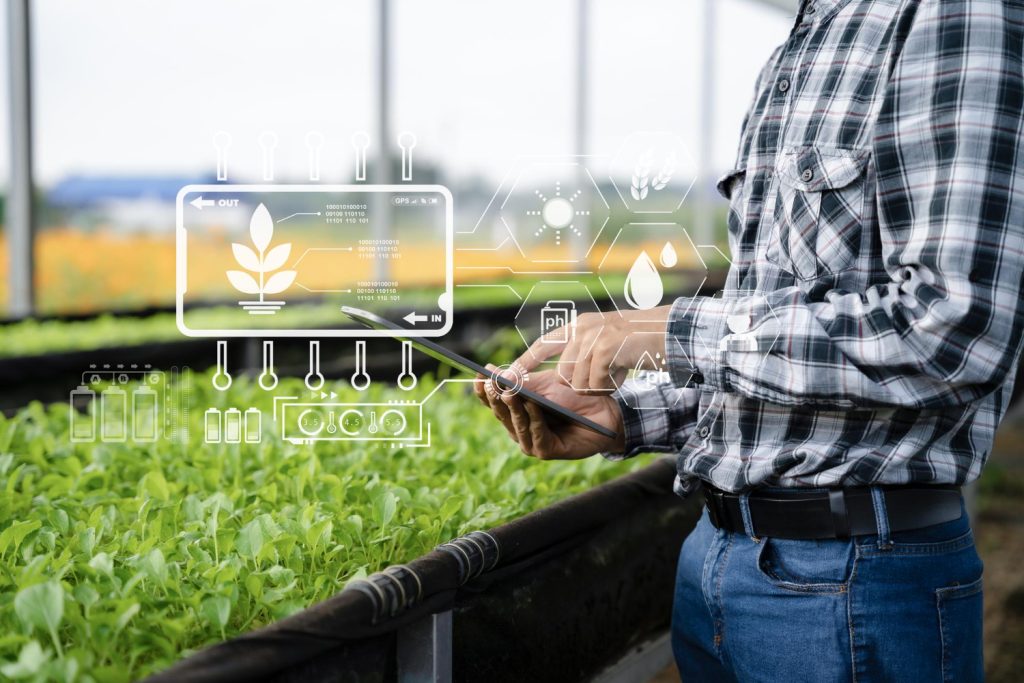
GIS-enabled crop monitoring revolutionizes modern agriculture by integrating Geographic Information Systems (GIS) and remote sensing to track crop health, optimize yields, and ensure sustainable farming practices. This technology offers actionable insights for efficient resource allocation and precision agriculture.
Short Detail
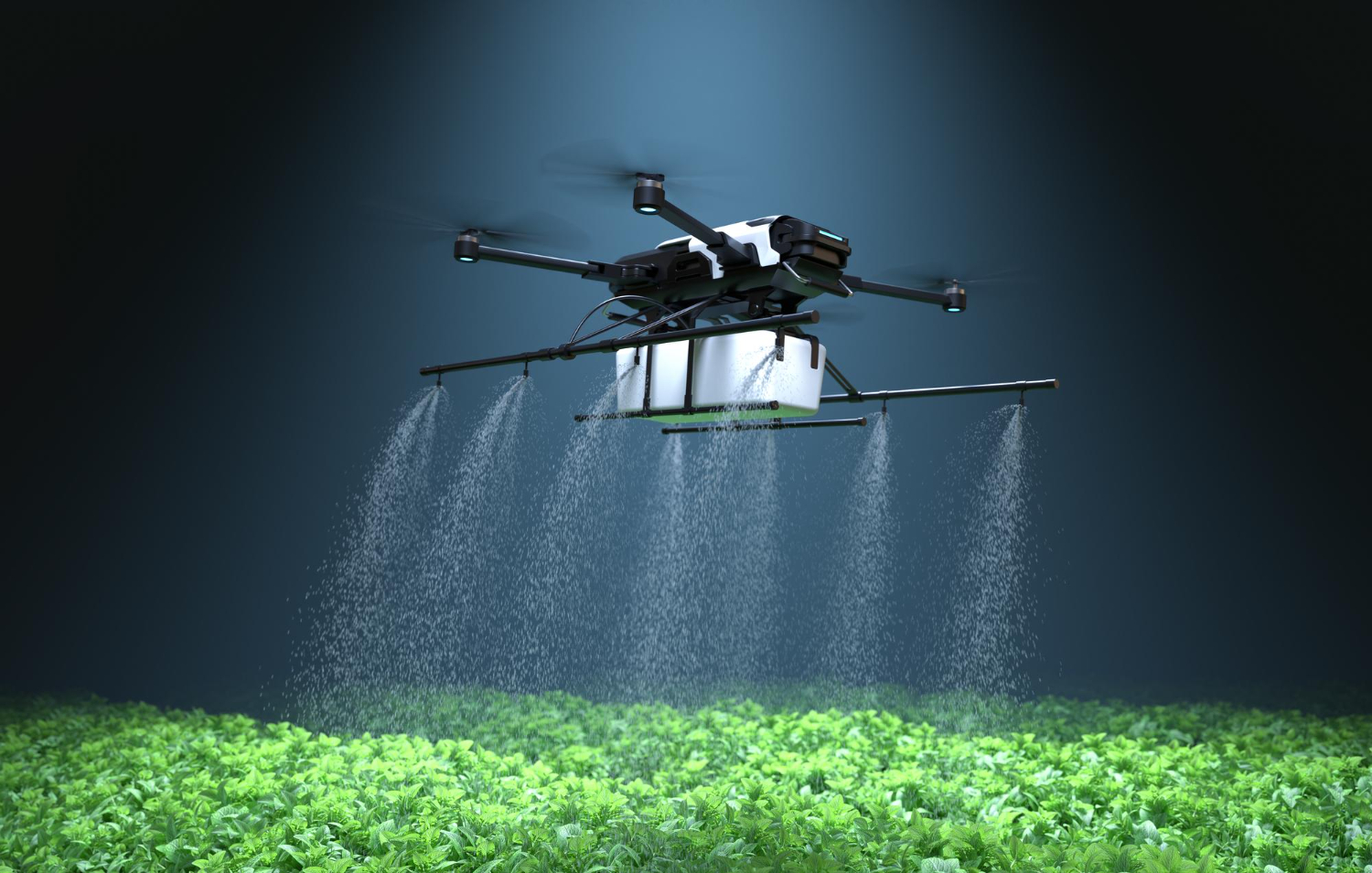
GIS-enabled crop monitoring empowers farmers and agricultural planners to make informed decisions through real-time data analysis. Utilizing satellite imagery, drone-based sensors, and geospatial analytics, it identifies patterns in crop growth, detects diseases, and monitors soil health. These insights enable precise irrigation, fertilizer application, and pest management, resulting in reduced costs and enhanced productivity.
Moreover, the integration of machine learning and IoT with GIS tools creates a powerful ecosystem for predictive modeling, helping mitigate risks from climate change and other external factors. By supporting sustainable practices, GIS-enabled crop monitoring ensures long-term agricultural efficiency and environmental preservation.
Client Says
Lets Talk Us
Get an Quotation
At Global Geo Soft, we specialize in providing comprehensive Mapping and GIS Services to empower businesses with actionable insights.
Lets Talk Us
Get an Quotation
At Global Geo Soft, we specialize in providing comprehensive Mapping and GIS Services to empower businesses with actionable insights.