A robust GIS solution that streamlines GIS Mapping for Land Parcel Management processes with precise spatial data for efficient decision-making.
Real Estate and Property Management
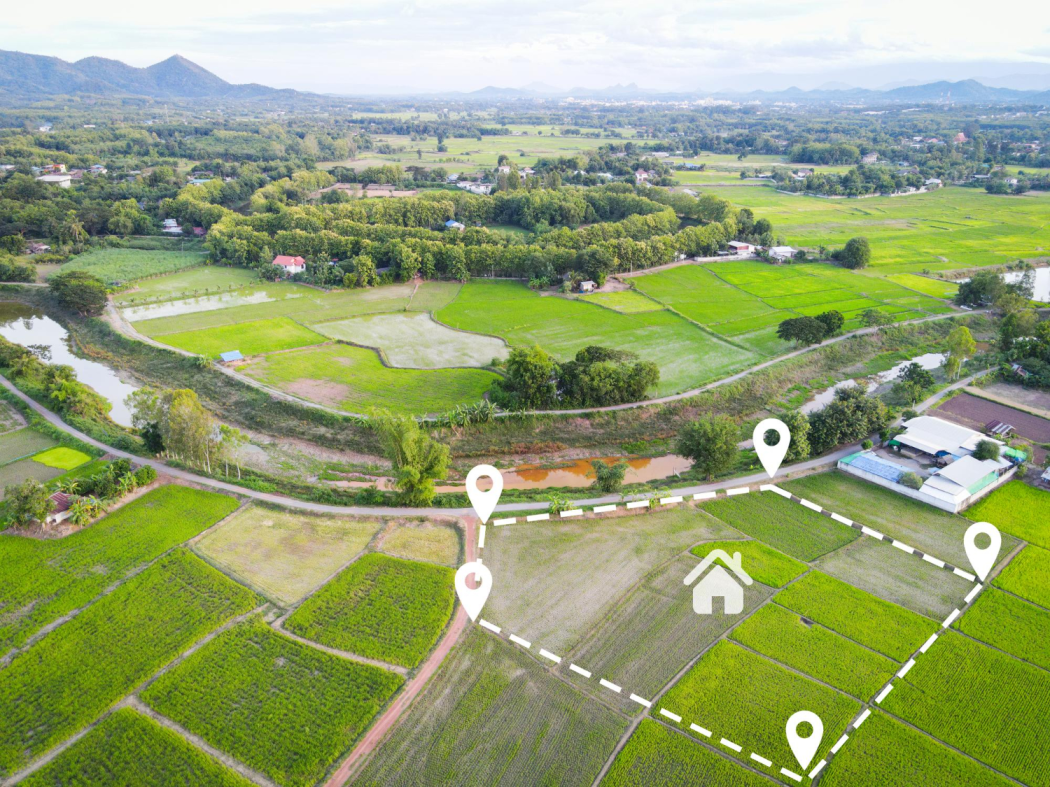
GIS Mapping for Land Parcel Management
A powerful GIS solution that simplifies land and property management by delivering precise spatial data for streamlined decision-making processes.
The Budget$950,000
Overview
This project enhances real estate management by using GIS technology to map and analyze land parcels, improving property valuation and ownership tracking.
Short Detail
GIS Mapping for Land Parcel Management integrates land records with geospatial data to create a comprehensive view of property boundaries, zoning information, and land use regulations. It helps real estate developers and investors make informed decisions on land acquisition and development.
The solution’s detailed maps and analytics support transparent property transactions and dispute resolution, making land management more efficient and reliable. This project has set new standards in the real estate industry.
Client Says
Lets Talk Us
Get an Quotation
At Global Geo Soft, we specialize in providing comprehensive Mapping and GIS Services to empower businesses with actionable insights.
Lets Talk Us
Get an Quotation
At Global Geo Soft, we specialize in providing comprehensive Mapping and GIS Services to empower businesses with actionable insights.