GIS-Integrated Urban Planning Solutions for Smart Cities
An innovative GIS-based Sustainable Urban Planning that enhances city growth, resource management, and sustainable development.
Urban Development
Sustainable Urban Planning for Smart Cities
An innovative GIS-driven solution for urban planning that supports sustainable city growth and efficient resource management with integrated geospatial technology.
The Budget$2.0 million
Overview
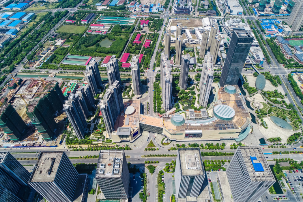
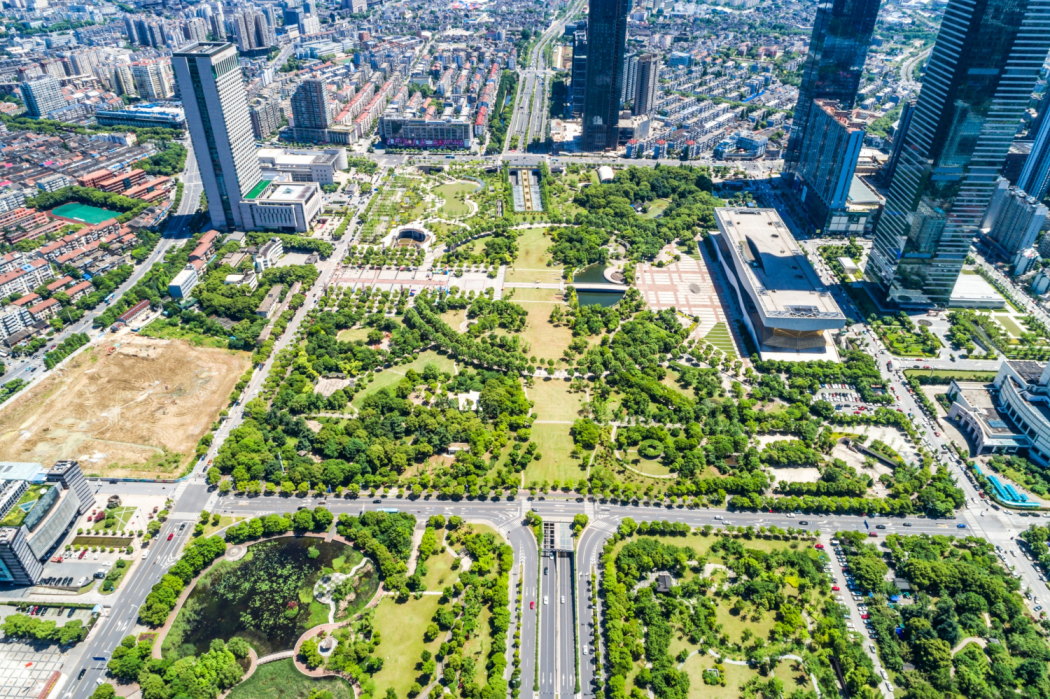
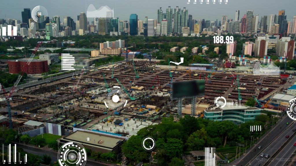
This project focuses on transforming urban areas into smart cities through data-driven spatial planning and infrastructure development.
Short Detail
GIS-Integrated Urban Planning Solutions for Smart Cities leverages geospatial data to design efficient urban layouts, optimize land use, and manage public resources. The platform supports city planners in creating smart transport networks, green spaces, and energy-efficient buildings.
By visualizing urban growth trends and infrastructure needs, this solution enables sustainable development and improved quality of life for residents. It has become a cornerstone in modern urban planning practices.
Client Says
Lets Talk Us
Get an Quotation
At Global Geo Soft, we specialize in providing comprehensive Mapping and GIS Services to empower businesses with actionable insights.
Lets Talk Us
Get an Quotation
At Global Geo Soft, we specialize in providing comprehensive Mapping and GIS Services to empower businesses with actionable insights.