GIS-Based Forest Fire Monitoring and Early Warning System
An advanced GIS platform that predicts, detects, and monitors forest fires to enable swift emergency responses and minimize damage.
Environmental Protection
Forest Fire Prediction and Monitoring
A sophisticated GIS platform that enables accurate forest fire detection, prediction, and monitoring, providing early warnings for swift emergency response.
The Budget$1.3 million
Overview
This project employs geospatial technology to develop a proactive approach to forest fire management, providing early detection and real-time monitoring.
Short Detail
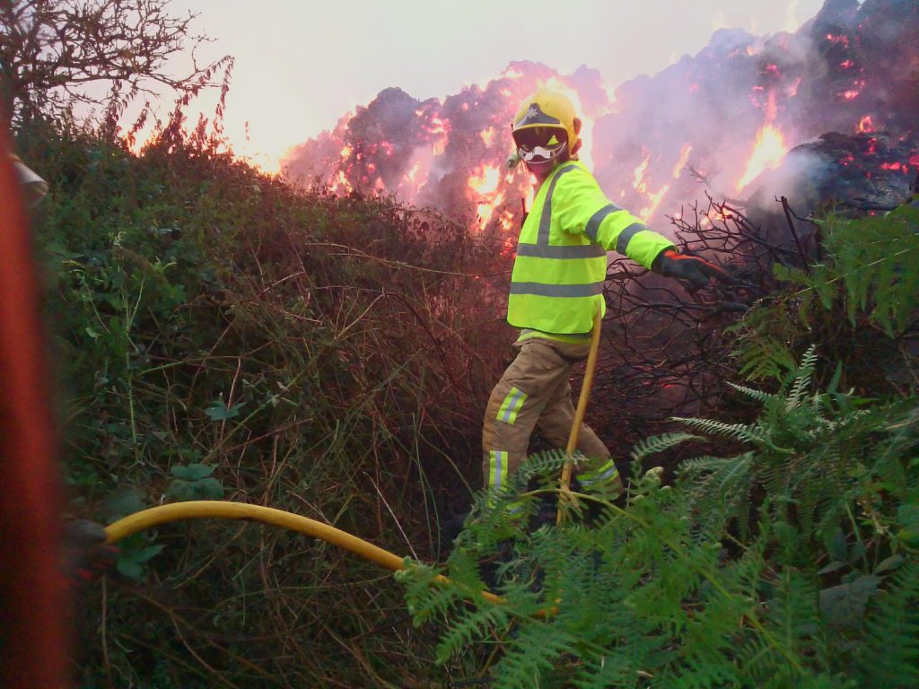
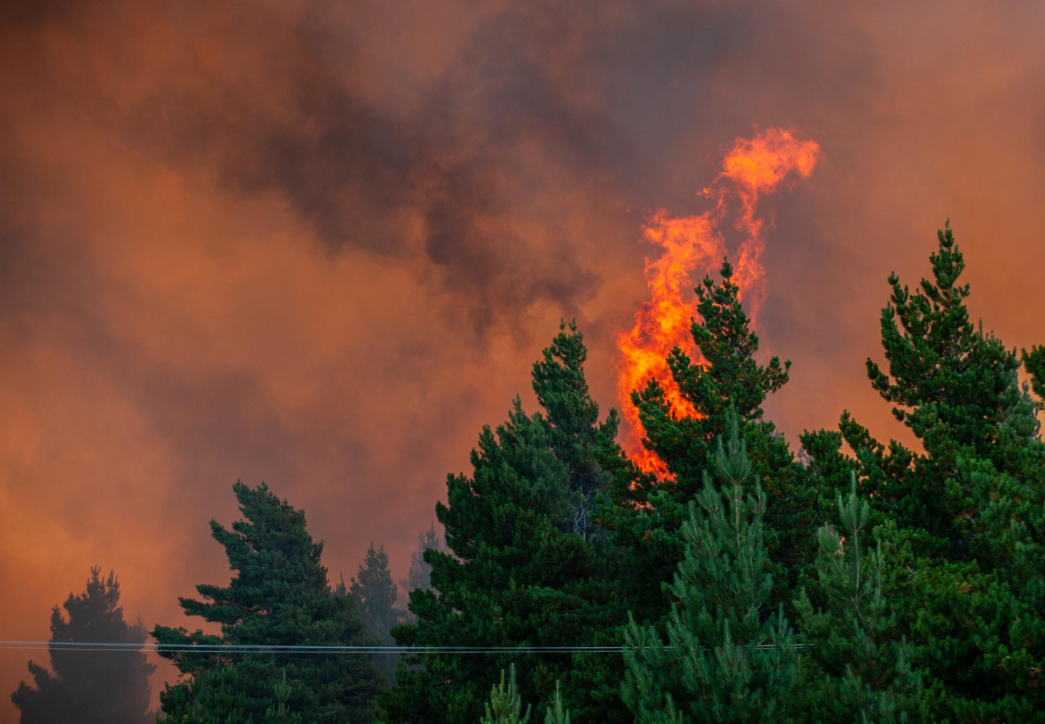
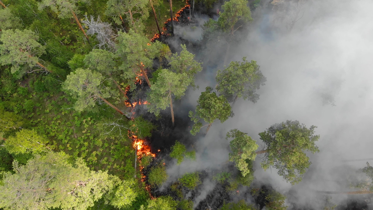
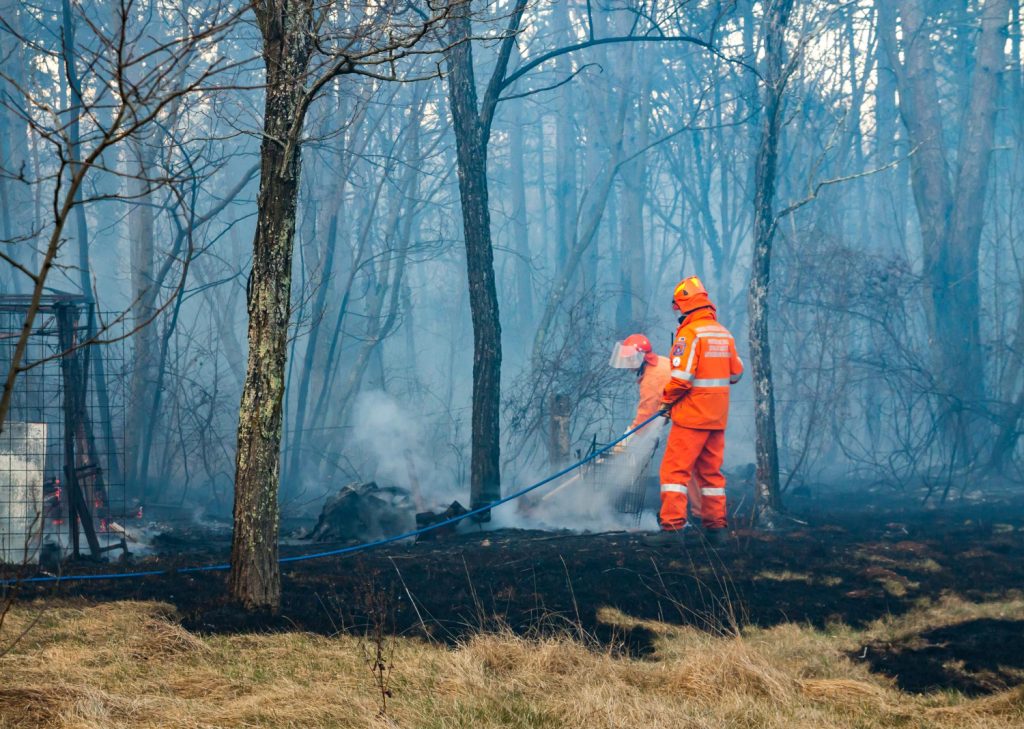
The GIS-Based Forest Fire Monitoring and Early Warning System utilizes satellite imagery and weather data to identify high-risk zones and predict fire outbreaks. It provides real-time alerts to firefighting teams, enabling rapid response and effective containment strategies.
This solution has been instrumental in reducing wildfire damage and protecting ecosystems by delivering precise information on fire spread patterns. It is a critical resource for forest management agencies and disaster response units.
Client Says
Lets Talk Us
Get an Quotation
At Global Geo Soft, we specialize in providing comprehensive Mapping and GIS Services to empower businesses with actionable insights.
Lets Talk Us
Get an Quotation
At Global Geo Soft, we specialize in providing comprehensive Mapping and GIS Services to empower businesses with actionable insights.